Updated: Dec. 17, 2024 at 9:46 PM HST
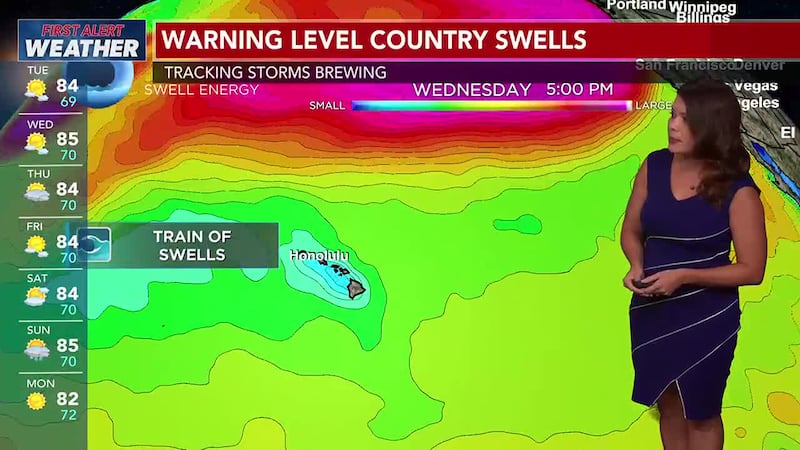
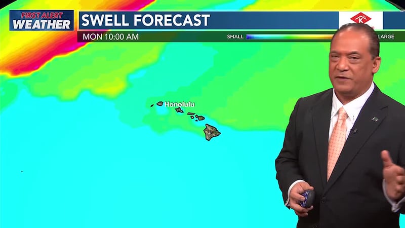
|It is getting very busy over the Pacific with large swells
Updated: Dec. 17, 2024 at 8:07 PM HST
|Tracking light winds two more days before weak trade winds build
Updated: Dec. 16, 2024 at 6:31 PM HST
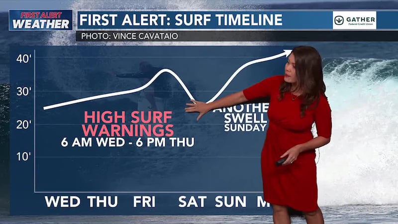
|We’re tracking an extra large swell that will likely trigger high surf warnings. Let’s break down the surf forecast for the entire week.
Surf is already on the rise for north and west-facing shores. A long period northwest swell will build in on Tuesday and is expected to push wave heights above high surf advisory criteria Tuesday overnight into Wednesday.
The next swell will be the big one. Extra-large surf is expected on Thursday, with the National Weather Center stating that “surf will likely exceed High Surf Warning levels Thursday into [the] weekend”. Right now, models have the swell energy peaking on Friday.
We haven’t heard anything yet from The Eddie Aikau Foundation.
However, they do have a color-coded system for the Eddie Inviitational, ranging from red, yellow, and green.
Red, means NO Eddie in the next 7 days.
Yellow means standby, a possible go in the next 7 days.
Green means that Eddie will Go within the next 2-3 days.
As soon as we hear an update regarding the swell, we’ll let you know right here.
And as always, make sure to download the HNN First Alert Weather app to get the latest information.
Updated: Dec. 16, 2024 at 5:00 PM HST
|Top stories from across Hawaii and around the world, as seen on the 5 p.m. news broadcast from Hawaii News Now.
Updated: Dec. 14, 2024 at 7:00 AM HST
|The satellite picture this evening shows a large stable cloud band drifting into the eastern slopes of Molokai, Maui and the Big Island.
