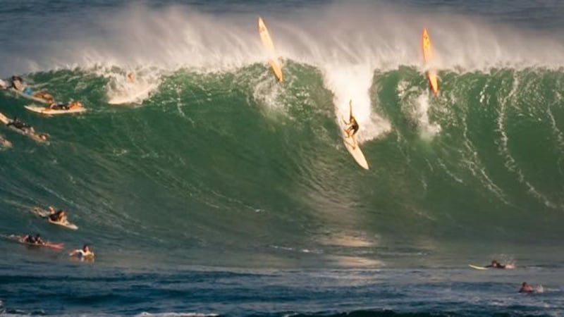
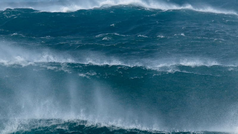
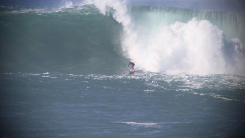
Forecast: MAJOR first alerts by the end of the week with massive swell energy and monster waves
Tracking a weak front Thursday
HONOLULU (HawaiiNewsNow) - Busy week with monster waves and the Winter Solstice arriving on Friday! We have a weak front on Thursday for Kauai, and it may bring some low-lying moisture and rain and for a short time NNE winds. Mainly gentle and variable winds will prevail into the weekend. A surface ridge will remain parked over the state through Wednesday, leading to gentle to locally moderate southwest winds around Kauai, light and variable winds around Oahu and Maui County, and mostly gentle southeast winds for Big Island waters. A dissipating front will be pushed near Kauai and Oahu on Thursday, and a weak following surface high will produce gentle northerly winds, followed by a brief period of trades on Friday. A surface ridge will be pushed back over the islands during the weekend.
Current radar and satellite imagery show clouds and a few showers building up over island interiors due to sea breeze activity this afternoon. Additional showers can be seen streaming across the western end of the state due to increased moisture and low-level convergence ahead of an approaching cold front. Winds will remain light across most of the island chain through tomorrow afternoon as the front continues to slowly approach from the northwest, disrupting the trade wind flow. This pattern will allow for the development of land breezes overnight that will help to clear out clouds and showers across land areas by morning, and sea breezes during the day that will bring low clouds and a few showers to island interiors by the afternoon. Fairly dry and stable conditions will persist through the week with minimal rainfall expected, despite a couple of fronts that are expected to approach the area. The first front will dissipate as it sags across the western end of the island chain tomorrow and model guidance continues to keep this a rather dry front, with only a slight uptick in showers expected across windward Kauai and Oahu. Gentle to breezy northeast winds will briefly fill in behind the dissipating front before winds weaken in response to the next approaching front. As such light winds are expected across the island chain through most of the weekend, allowing for a land and sea breeze regime to redevelop. This second front will approach the state Sunday night into Monday and possibly dissipate over or just north of the area. Easterly trades winds will fill in behind the front and strengthen through Tuesday as high pressure builds to the north of the state and slides eastward. Pockets of moisture will move in on the trades, but generally dry and stable conditions will persist as ridging aloft dominates.
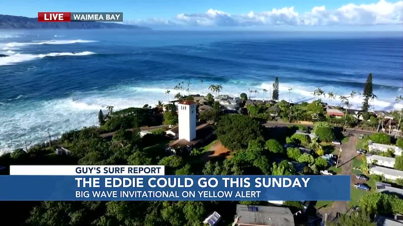
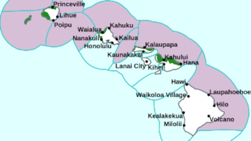
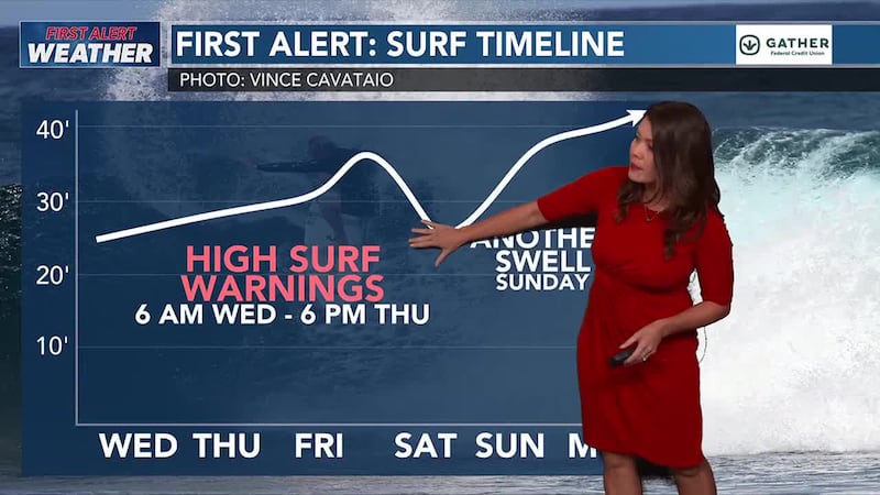
A series of large northwest to north-northwest (315-330 degrees) swells will move through Hawaiian waters into Monday. The overlapping pulses of swell will likely maintain surf near or above warning thresholds along affected shores most of the time through at least the weekend, with the largest swell expected on Sunday. Advisory level surf will be possible along west facing shores of the Big Island as early as Thursday afternoon.
Aside from areas exposed to wrapping northwest swell, surf along east and south facing shores will remain small through much of the week. The best chance for a small rise in southwest swell will be on Thursday and Friday.
WISHING YOU BLUE SKIES AND MUCH ALOHA.
Chief Meteorologist Jennifer Robbins has Hawaii’s most accurate First Alert Forecast every weeknight at 5, 5:30, 6, 9 and 10. Get weather updates every ten minutes on HNN Sunrise, weekdays with Guy Hagi and weekends with Billy V. Meteorologist Drew Davis has your forecasts on This is Now at noon, First at Four and Hawaii News Now at 6:30. And join Ben Gutierrez weekend evenings.
Copyright 2022 Hawaii News Now. All rights reserved.
